After much success receiving weather maps from the NOAA satellites, I wanted to receive more satellites. While the NOAA satellites are US-based and are relatively old, the METEOR-M2 are of a more recent make, operated by Russia.
However, the LRPT signals sent by the Meteor satellites are digital and somewhat harder to decode. But thanks to some ambitious russian friends, decoding software exists.
Hardware
In terms of hardware, I used the same setup as for receiving NOAA satellites.
Software
The tracking setup is the same as for NOAA satellites, but the decoding software is different:
- QPSK Demodulator for SDR# http://www.rtl-sdr.ru/page/komplekt-plaginov-dlja-priema-sputnikov
- LRPT Offline Decoder http://www.radioscanner.ru/files/download/file17709/lrptofflinedecoder_2014.09.22.0010.zip
- Projection software MeteorGIS https://drive.google.com/file/d/0B9HuDROb5aCyMnVIZ05NZG55Rms/view
Again, for setup, refer to the excellent tutorials at https://www.rtl-sdr.com/rtl-sdr-tutorial-decoding-meteor-m2-weather-satellite-images-in-real-time-with-an-rtl-sdr/ or http://init.sh/?p=275. Especially MeteorGIS is tricky to operate.
Sorry for the janky download links, when in doubt check the linked blogs for alternatives.
Operation
Again, similar to the NOAA decoding, the tracking software starts the decoding in SDR#. The QPSK demodulator plugin then sends a TCP data stream to the LRPT decoding software.

Image source: RTL-SDR.com
After the decoding is complete, the MeteorGIS software unstretches, patches and projects the images. This is a terminal application and execution takes quite a long time.
Video Demonstration
Again, I recorded the whole process into a video.
Results
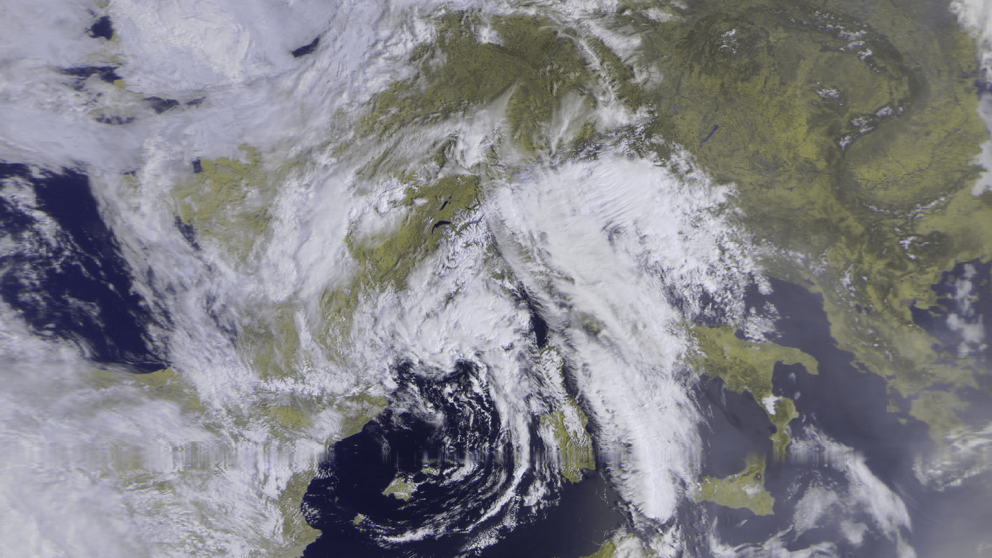
Here are some of the higher quality images I received:
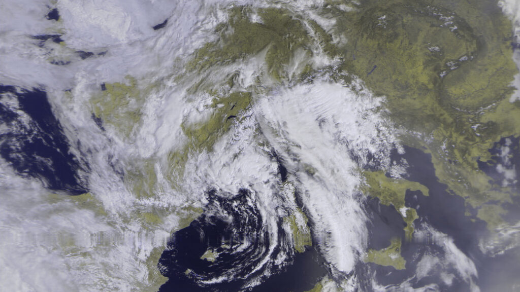
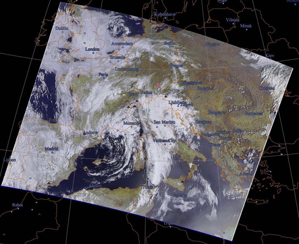
RGB image 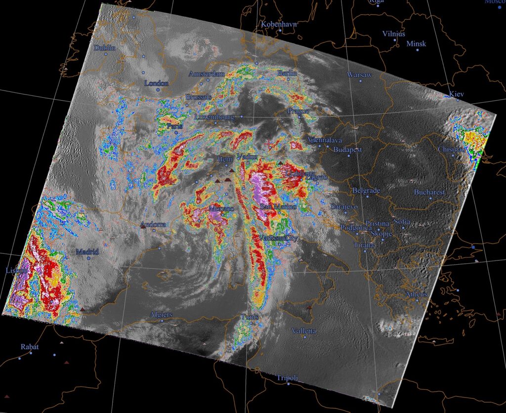
IR rainfall image 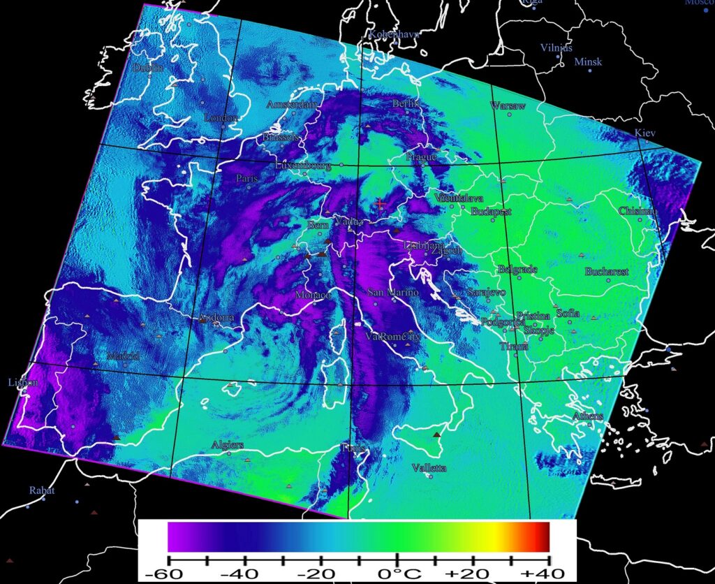
Thermal image